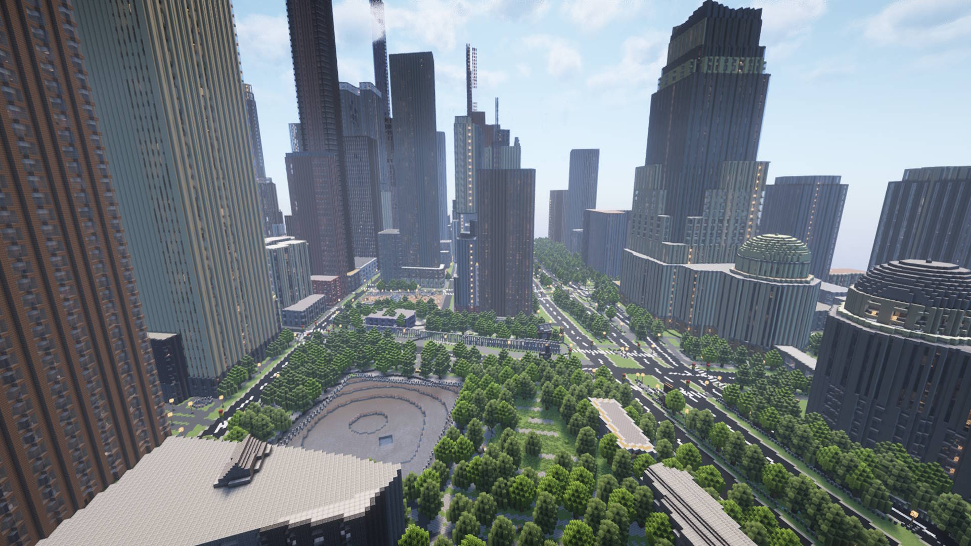
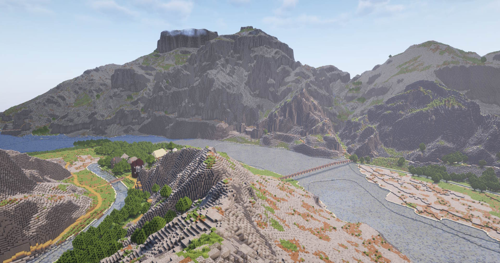
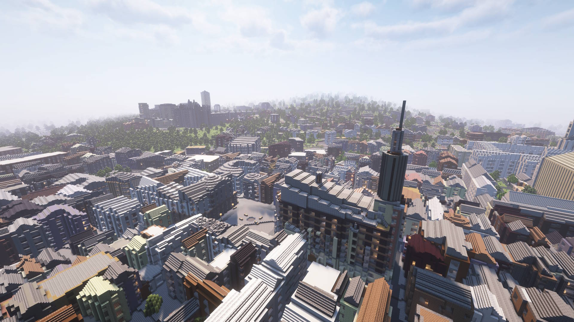
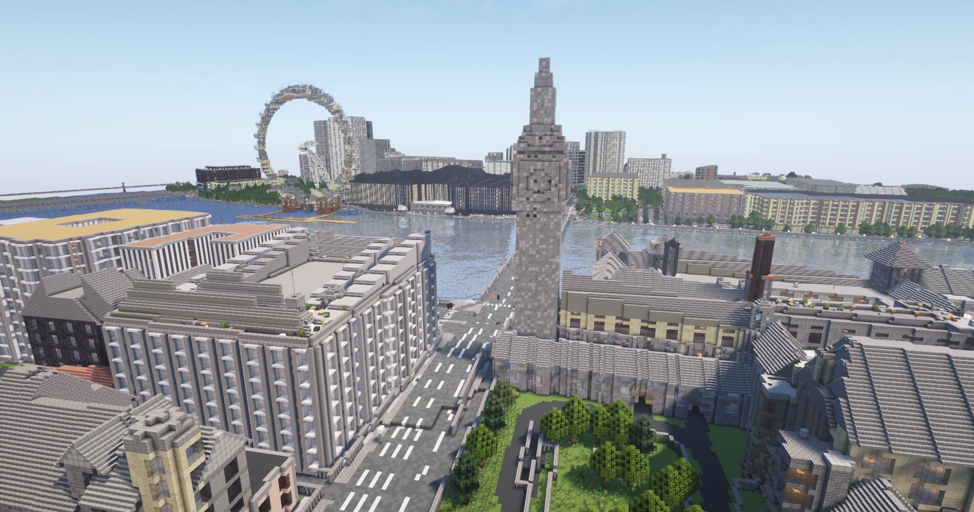
What is Arnis?
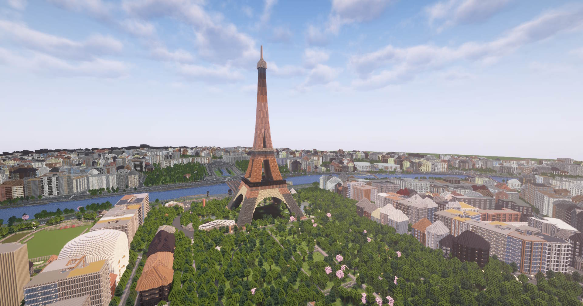
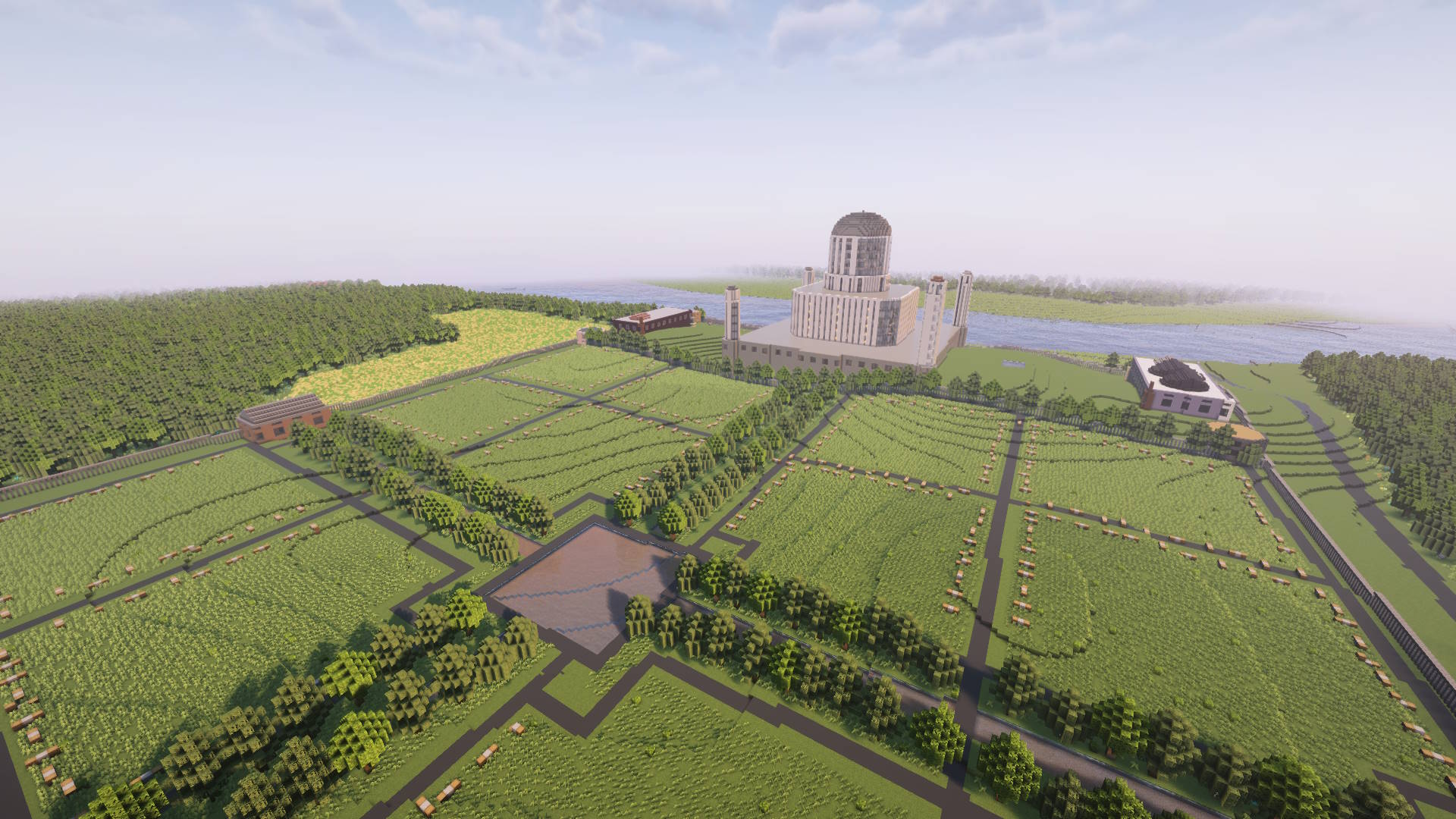
Arnis is a free and open-source desktop application that transforms real-world geographical data into playable Minecraft Java and Bedrock Edition worlds. With an easy-to-use interface and customizable settings, it recreates streets, buildings, landmarks, and terrain from any location on Earth, bringing your favorite places to life in Minecraft.
1
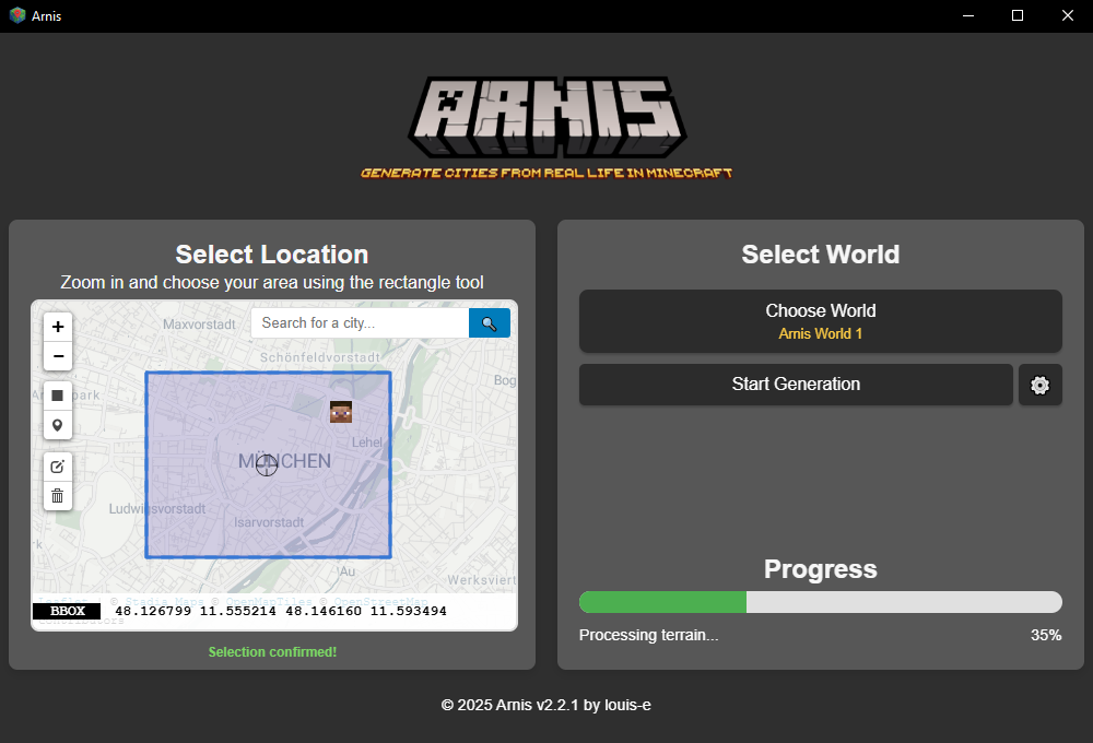
Select Your Area
Choose any location on Earth using the interactive map and rectangle selection tool
2
Choose Your World
Generate a new world or select an existing one
3
Generate & Explore
Click 'Start Generation' and watch as your selected area is generated in Minecraft